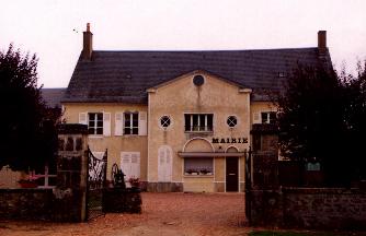
St Jean aux Amognes, small village of Nievre in the Bourgogne
area, with 15kms of Nevers in the heart of Amognes. The small country
of Amognes corresponds roughly to the cantons of Guťrigny and Saint
Benin d' Azy. The heights form wooded plates. Downwards, the marly
slopes, formerly countries of corn and vine, are today the field of
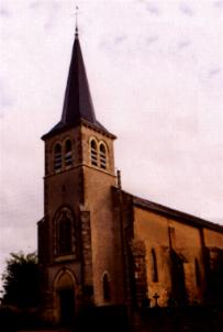
the meadows and of oxen charolais. The softness of the landscapes,
with many rivers, great fields, villages with the beautiful often
Romance churches, is very characteristic.
Descriptive sheet of Saint Jean aux Amognes:
Canton of Saint Benin d' Azy - District of Nevers.
Surface: 1800 hectares - Population (INSEE 1999) 479
inhabitants.
Name of the inhabitants: Johannais.
Hamlets:
Cťoby, Cougny, CrŰt, Pťrou, Neufond, Saint Pťraville,
Sťjean, Sury, Prijat and Trťlaigues.
The canton of Saint Benin d' Azy includes/understands 16
communes is 5136 inhabitants on the whole:
Anlezy, Beaumont Sardolles, Billy Chevannes, Cizely, Diennes
Aubigny, La Fermetť, FertrŤve,
Franay Reugny, Limon, Montigny aux Amognes, Saint Benin d' Azy,
Saint Firmin,
Saint Jean aux Amognes, Saint Sulpice, Trois VŤvres and Ville
Langy.
Name of the river: The brook of the Forging mills.